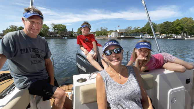
GREAT LAKES AREA RANGER TUGS/CUTWATER BOATS 2025 RENDEZVOUS – Mackinaw City, Michigan – We just…

Hiking on Sucia Island – Caves, Rock Formations and Beautiful Pacific Madrona Trees
4.
Hiking on Sucia Island – Caves, Rock Formations and Beautiful Pacific Madrona Trees

First Time Mooring at Sucia Island
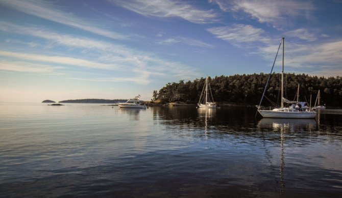
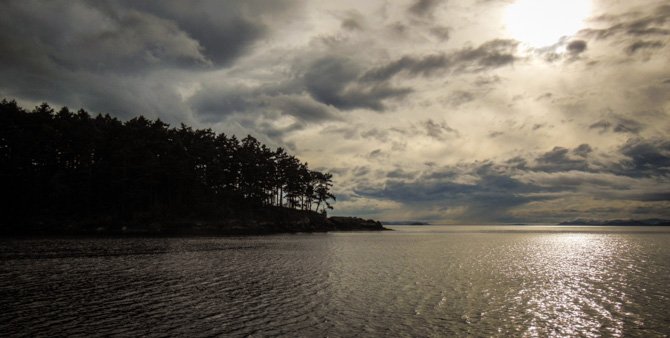
Leaving Friday Harbor behind us we cruised to Sucia Island, a Washington State Park sitting in the San Juan Islands at the base of the Strait of Georgia, only 3.5 miles from the Canadian border. Our 16-mile ride, from Friday Harbor, was short and uneventful, however during the last few miles we had no leeward protection from the southeast and the open waters of Rosario Strait, so it was a little lumpy. Taking it slow and steady we made it into the well-protected cove of Shallow Bay, where we happily found a mooring ball available; our plan was to spend a couple of nights in the cove. We left Friday Harbor rather late in the morning and we took our time going the distance, so after settling into the cove we just sat back and enjoyed the late afternoon’s stormy-looking skies as they glided over us as the wind finally started to settle down a little.

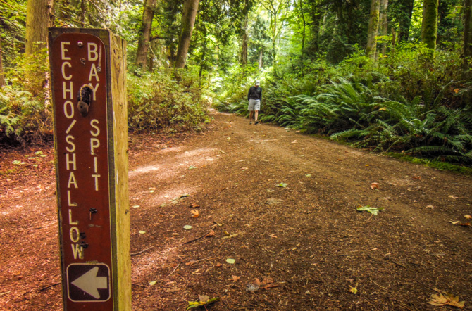
Anxious to see what we’d missed in our previous trips to the San Juan’s, we got up early the next morning packed lunch, and dinghied to shore. Hiking first to Echo Bay, we found a wide-open bay where maybe 30 boats were at anchor.


We think these are Lion’s Mane jellyfish.


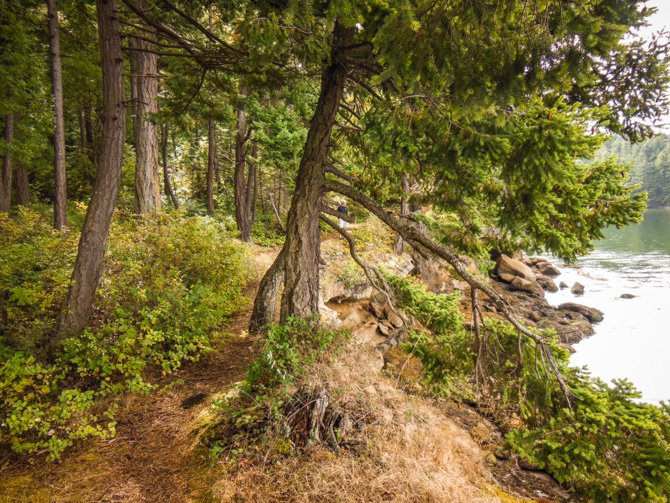


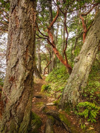
These beautiful Pacific madrona trees (arbutus menziesli – also known as bearberry or refrigerator tree) stood out amongst the other greenery on the island, the thin red peeling bark reveals a silvery smooth greenish wood below.


We didn’t see much in the way of wildlife during our hike on the island but we did spot this beautifully colored slug (above).

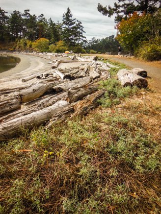

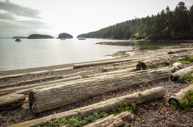
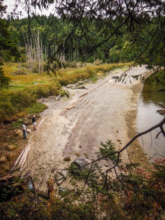
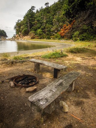
Our walk continued down to Fox Cove and Fossil Bay where we stopped for lunch and found a couple of park docks, more anchorage possibilities, and many campers using picturesque sites scattered around the park.


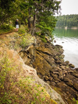
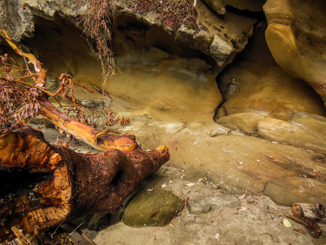
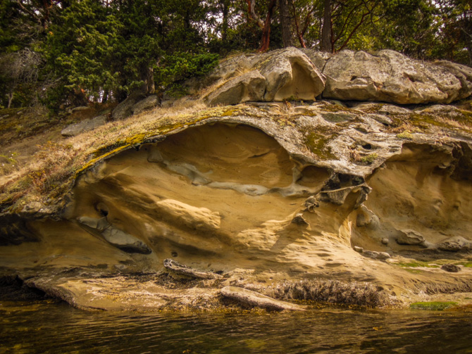
We wound up our walk by walking on the bluff overlooking Shallow Bay, we walked right above some of the sandstone sculptures Mother Nature has worked on over the years. After getting back into the dinghy, we rode over to the caves further down the shoreline to get a waterside view.


The island’s history is rich with settlers, smugglers (prohibition), and a tourist boat business. The Wiggins family were the first settlers on Sucia Island in the late 1800s, they lived in a cabin near the salt marsh with their large family; they were followed by the Hamden family around 1920.
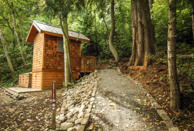
The name Sucia means “dirty” or “foul” in Spanish, it refers to the many submerged rocks that line the shore creating a hazard for sailing vessels. The island is made of sandstone, which time, along with wind and salt crystal erosion, has transformed into many caves and naturally sculpted formations. Sucia has several bays and coves for anchoring or mooring; a small dock at the marine park in Fossil Bay; on-shore campsites; a few rustic cabins; and seven walking trails. Members of local yacht clubs volunteer to maintain and work on improvement projects. The island (Shallow Bay in particular) is one of the best spots in the San Juans to watch the sunset.


Related Posts


Comments (0)