Skip to content

Bear Sighting in Downtown Chemainus, Vancouver Island, Canada

Multiple Bear Sightings in Chemainus! Always on the lookout for something new to experience, we decided to visit Chemainus on our return trip south, through the Gulf Islands, on our way back to the U.S. The name, Chemainus, originates from the native shaman and prophet “Tsa-meeun-is,” which stands for Broken Chest. The legend goes that the man survived a massive wound to his chest and then became a powerful leader, his people took his name to identify their community, Chemainus First Nation. Later founded as a logging town, in 1858, the town is now famous for 39 beautiful painted murals that grace…

Read more

At Anchor in Departure Bay for One Night

Out Into the Strait of Georgia Again, Heading for Departure Bay! We left Jedediah Island refreshed and confident in heading out again. We continued our crossing of the Strait of Georgia the day after being literally blown off the water. As you can see Lisa's taking photos again. While this day looked much better it was still a little stormy when we started out. However with some blue sky showing up on the horizon. The water conditions were still a little lumpy, but comparing it to the day before, it was a walk in the park, so to speak. By…

Read more
Chatterbox Falls, Canada

Princess Louisa Inlet Provincial Marine Park – The Inner Sanctum

Princess Louisa Inlet Provincial Marine Park Called Suivoolot (Sunny and Warm) by the Sechelt Nation Natives We felt that sunny warmth today. Princess Louisa Inlet and Provincial Marine Park were created on June 24, 1965. Sitting on the other side of Jervis Inlet with Malibu Rapids acting as the dividing point, the park is a 5-mile-long spectacular fjord. The park is surrounded by 3,000-foot-high, waterfall-littered, snow-tipped mountains. The inlet boasts about 1,000 feet of water depth and measures no more than a half-mile wide. At the end of Princess Louisa Inlet is the equally stunning 120-foot-tall Chatterbox Falls. The Princess Louisa Inlet and Provincial Marine Park…

Read more
Rock Formations, Hardy island, Canada

Positioning Ourselves at Hardy Island for the Run Up to Chatterbox Falls

The Anchorage at Hardy Island is Located at the Base of Jervis Inlet We were somewhat protected by Texada Island as we cruised 21 miles southeast from Powell River to Hardy Island. The anchorage at Hardy Island is located at the base of Jervis Inlet. We are positioning ourselves for the cruise up to Princess Louisa Inlet, Malibu Rapids, and finally Chatterbox Falls. Entering Blind Bay we found calm waters ideal for anchoring in a narrow, well-protected, cove within Hardy Island Marine Park. As we were scouting for a spot to drop our hook we came across a small black bear…

Read more
Fishing Boats, Lund, Canada

Leaving Desolation Sound for the Village of Lund, British Columbia

 Headed to Lund – Entering the Sunshine Coast... After two glorious weeks of picture-perfect boating weather and sensory overload during our exploration of Canada’s Desolation Sound, the time had come to start working our way south/southeast. We had a calm but overcast day to exit Desolation sound from our anchorage in Roscoe Bay. Up next, was Jervis and Princess Louisa Inlets and the much talked about Chatterbox Falls, but first we had to explore a few of the little fishing villages along British Columbia's "Sunshine Coast." Our first stop was Lund (below), a busy, picturesque, seaside village, 120km north of Vancouver,…

Read more
Squirrel Cove Town Dock, Desolation Sound

Fighting Rapids at Squirrel Cove – Desolation Sound, British Columbia

We left Pendrell Sound this morning to motor over to Squirrel Cove. Several boaters recommended this spot as a very well-protected anchorage and since our weather turned a little sour we decided the cove might just be the ticket for a good night's sleep. The photo below not only shows a pretty typical type of cruising boat in Canada's Desolation Sound but some of the huge logs boaters have to contend with when cruising this area. Squirrel Cove is a popular anchorage for cruisers! The cove provides a very protected anchorage for a large number of boats and, as a…

Read more
Kismet Stern Tied, Walsh Cove, Desolation Sound

Cruising Homfray Channel to Walsh Cove, British Columbia

Anchoring in Walsh Cove while waiting to get dock space at Toba Wildernest. One of the beauties of cruising in Desolation Sound is that when you leave one place you have plenty of spots to consider for your next day's docking or anchorage. We left Laura Cove after the three-day holiday weekend and headed northeast up Homfray Channel. We passed Homfray Lodge, a stop recommended by some friends, but we decided to pass on it and continue cruising as we were hoping for a black bear sighting. We had heard bears were often sighted along the shoreline of the channel,…

Read more
Kismet Anchored, Laura Cove, Desolation Sound

Anchorage in Laura Cove For the Civic Holiday – Another Hike To Unwin Lake

We found a nice anchorage in Laura Cove, so we set the anchor and tied lines to the big rock. Lisa prepared lunch to take out on a dinghy exploration of the surrounding area. We ventured out of the cove into Homfrey Channel turned the outboard off and floated around while having lunch with a spectacular mountain view surrounding us off in the distance. Afterward, I dropped Lisa off at the boat and continued on, by dinghy, to a hiking trail located off Melanie Cove. I'd read about this trail somewhere and how it leads up to Unwin Lake, the freshwater lake…

Read more
Pancakes and Blackberries

“What Day Is It?” – Tenedos Bay Anchorage

After our swim at Unwin Lake, we followed the river and small rapids back to the dinghy. Just outside the woods in the open sunlight by the park entrance, where our dinghy was tied up, we came across a slew of blackberry bushes loaded with precious ripe berries. Risking bee stings and thorn-torn hands and legs, we harvested enough for blackberry pancakes the next morning. But first, when we arrived back to the boat, sitting in our Tenedos Bay anchorage, a batch of martinis was in order to wind down a very enjoyable day. Lisa then whipped up one of our favorite…

Read more
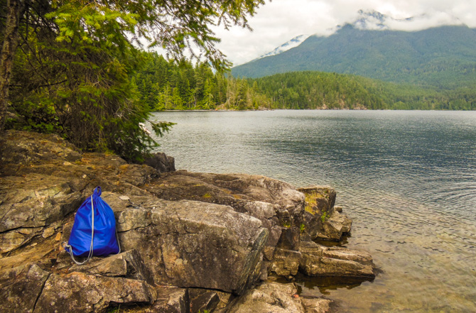
Backpack Unwin Lake

Hiking to Unwin Lake For A Refreshing Swim

Soon after we got the boat stern tied to shore at the anchorage in Tenedos Bay, we grabbed our bathing suits and towels and hopped into the dinghy for a short ride over to Unwin Lake for a refreshing swim in the 75˚ water. There are no real beaches up at Unwin Lake, it's all natural with lots of logs and rocks. We found an outcropping of boulders that provided us with a bit of privacy and a shallow pool of water on a rock ledge before it dropped off for swimming. We lingered eating apples and enjoying the mountain…

Read more
Refuge Cove, Desolation Sound

Fueling and Provisioning at Refuge Cove – Desolation Sound

Refuge Cove is a relic of the past. We have not been out cruising in Desolation Sound that long, this being our fifth day, but we missed getting fuel while we were at Gorge (it was busy when we left and we didn't want to wait). So when we left Teakerne Arm we thought we'd head over to Refuge Cove, a fully functioning marina and year-round community, centrally located on West Redona Island in the heart of Desolation Sound. We wanted to fuel up and top off our water supply. Refuge Cove is a relic of the past. We marveled…

Read more
Freshwater Lake, TeaKerne Arm, Desolation Sound

Teakerne Arm – A Waterfall And Fresh Water Lake

Teakerne Arm – A Waterfall and Hike to a Fresh Water Lake Leaving Grace Harbour, we had a short cruise to Lewis Channel before we made a turn up into Teakerne Arm and another anchorage in the British Columbia wilderness. In the open waters I kept seeing a distinctive peak off in the distance, it seemed to appear from behind and above the waterside hills, fjords, and mountains as if it was following us as we worked our way around Desolation Sound. With a little research, I found Mount Denman (the pointy-tipped mountain in the middle of the photo below -…

Read more
Boats Anchored, Grace Harbour, Desolation Sound

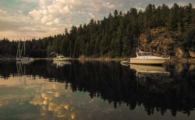
Our First Night Out In Desolation Sound – Anchored in Grace Harbour

First stop, Grace Harbour – Striking out on our own to explore Desolation Sound – We left Gorge Harbour mid-morning to find yet another perfect boating day awaiting us. History states that Captain George Vancouver first sailed the waters of the Sound in 1792, thinking the landscape remote and forbidding, he named it Desolation Sound. We think he must have had a run of bad weather to have taken such a gloomy stance on such a diverse and stunningly beautiful area, but we'd have to admit that the name has a certain draw to it. With Cortes Island behind us…

Read more

Forty-Five Ranger Tugs Gather at Ganges, British Columbia

Ganges Harbor, on Saltspring Island, is a short 10-mile run from Montague Harbor and the gathering point for the boaters participating in the Ranger Tugs 2013 Desolation Sound Cruise. We left early for Ganges, with yet another blue-skied day with just a light breeze and fairly calm waters. We looked forward to meeting up with about 45 Ranger Tugs and their owners for five days of socializing, pot lucks, and finally taking three days to cruise together up to Desolation Sound, and this was just the Ranger Tug boats, we would meet up with a group of Cutwater's (about another…

Read more

Positioning Ourselves In Prevost Harbor Off Stuart Island in the San Juans

Peaceful Night On the Hook in Prevost Harbor From Anacortes, we headed straight to the northern end of the San Juan Islands to spend one night on the hook in Prevost Harbor before we checked in at customs in Bedwell Harbour, British Columbia. Stuart Island was just south of  Boundary Pass and Bedwell Harbor and just short of a heavy fog bank that just seemed to hang around the western edge of Stuart Island. As we arrived in the harbor, we immediately spotted this Fathom 40 trawler (below - just like our previous boat, same color too), we cruised by to say hi…

Read more
Back To Top