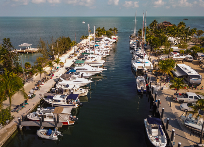
Blackfin Resort and Marina, Marathon, Florida, is an island paradise and a welcome slice…

Teakerne Arm – A Waterfall And Fresh Water Lake
Teakerne Arm – A Waterfall and Hike to a Fresh Water Lake
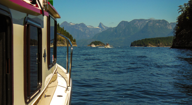
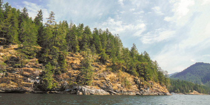
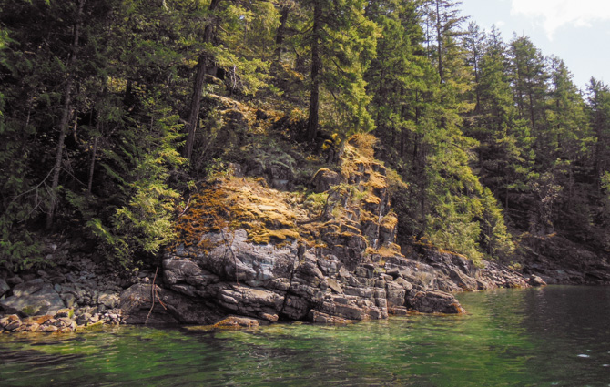
Leaving Grace Harbour, we had a short cruise to Lewis Channel before we made a turn up into Teakerne Arm and another anchorage in the British Columbia wilderness. In the open waters I kept seeing a distinctive peak off in the distance, it seemed to appear from behind and above the waterside hills, fjords, and mountains as if it was following us as we worked our way around Desolation Sound. With a little research, I found Mount Denman (the pointy-tipped mountain in the middle of the photo below – taken from just outside Melanie Cove) to be 6,299 feet high, it rests at the end of Desolation Sound and is considered Canada’s Matterhorn.
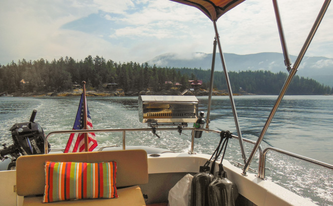
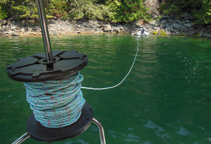
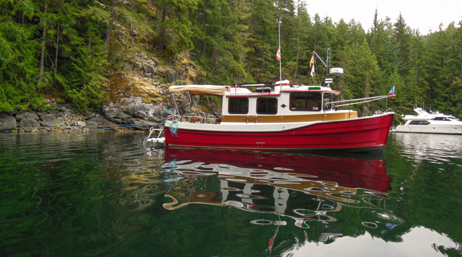
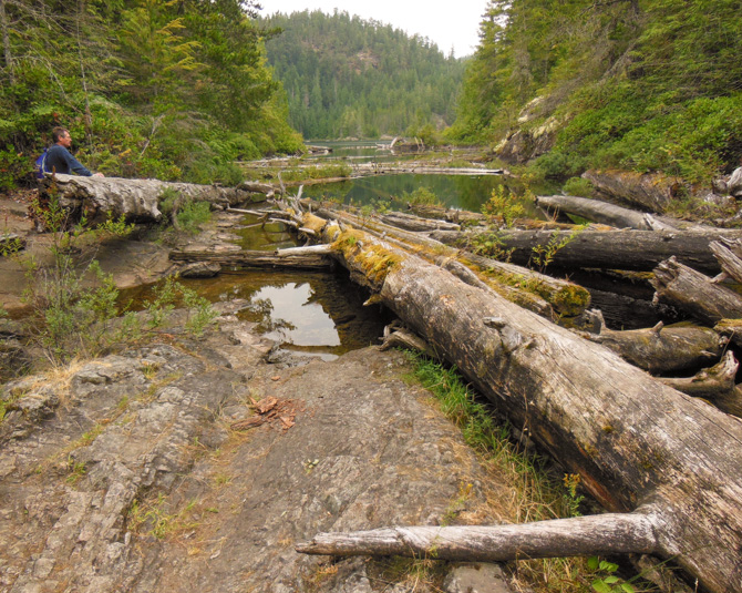
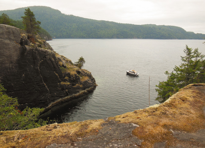
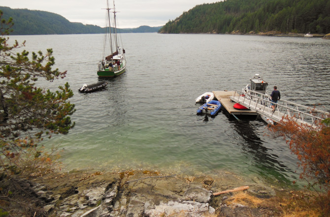
At the head of Teakerne Arm, one is greeted by a cascading waterfall spilling into the saltwater away from Cassel Lake, a freshwater lake just above the falls. We continued past the falls and found a small cove to anchor in stern tied to the shore, there were only five boats anchored there that night. The next morning all the other boats left and we had the entire cove to ourselves.
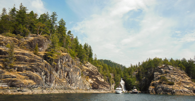
Waterfall (above) at Teakerne Arm
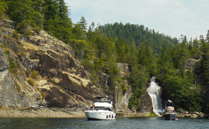
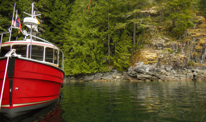
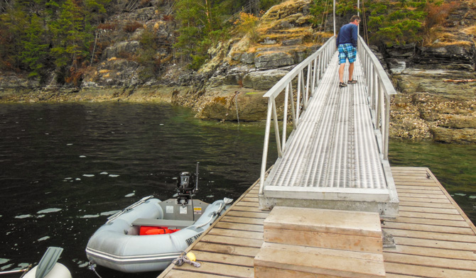
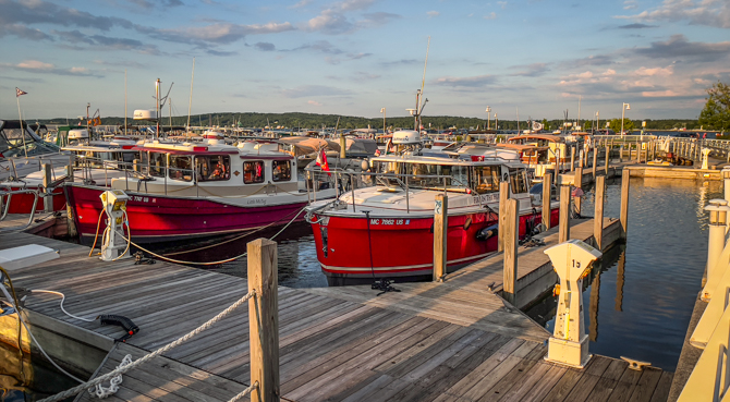
We found a nice spot to anchor and stern tie in Teakerne Arm, only one other boat shared the small cove with us.
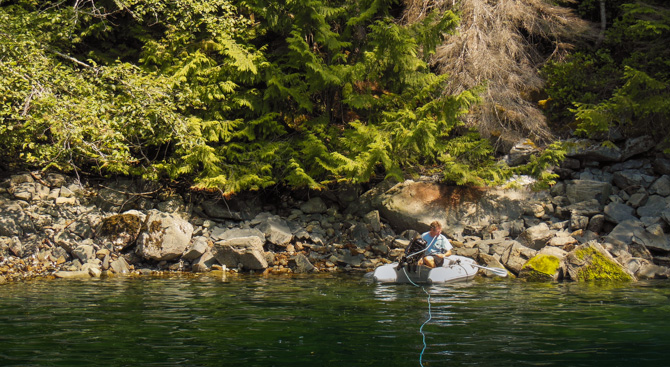

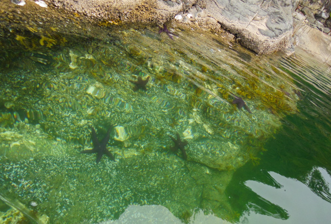
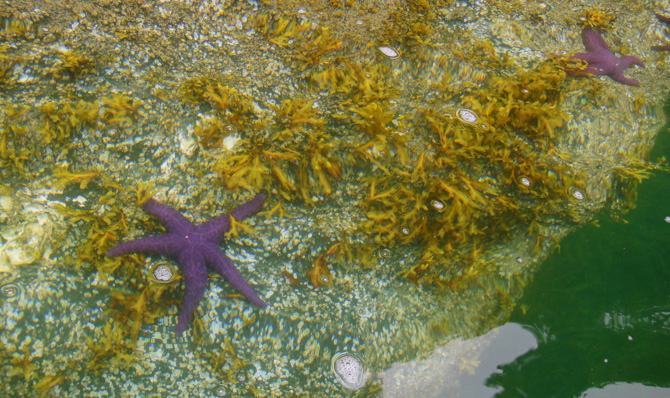
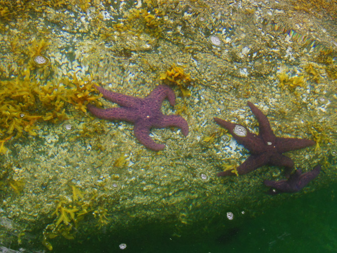
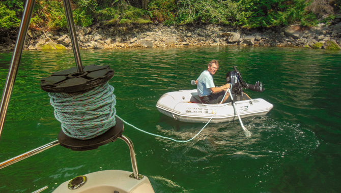
The starfish in this area are purple, it makes it easy to spot them from the dinghy.
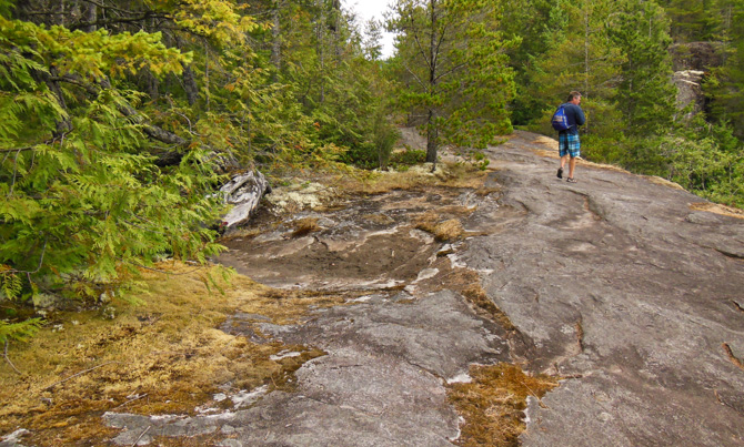
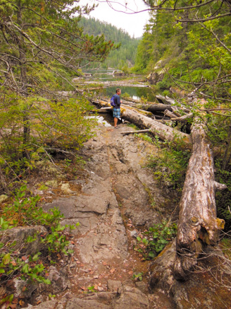
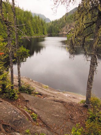
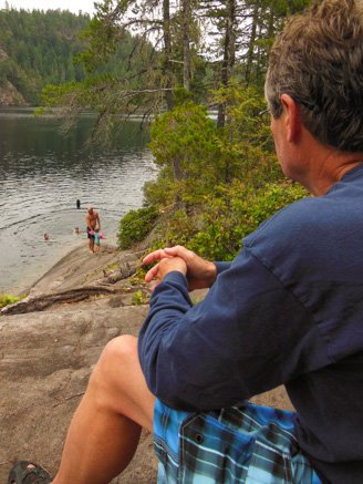
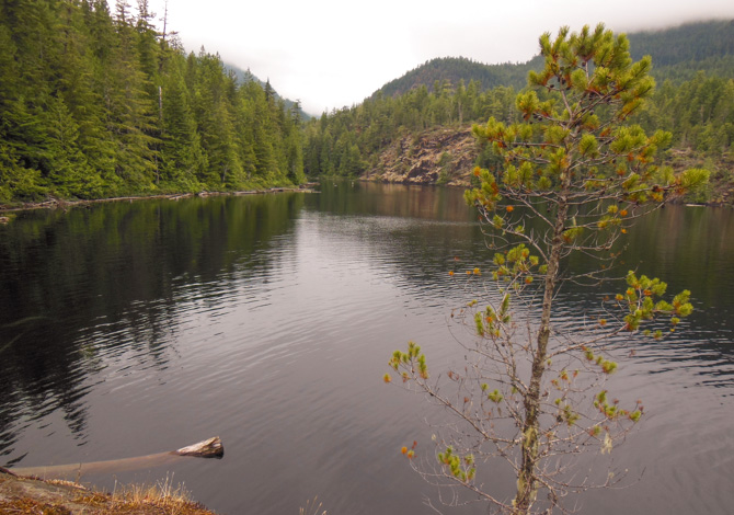
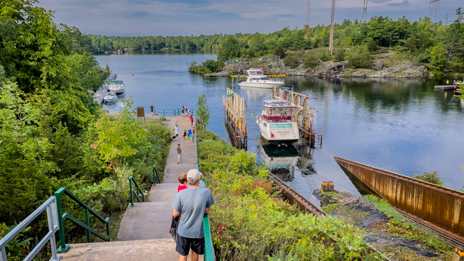
Our decision to stay two days at Teakerne Arm was made so we’d have plenty of time to dinghy over to the falls and hike up to Cassel Lake for a swim in the freshwater. Making our way up the rugged worn path we were rewarded with a pristine natural trail (the last 70 years it has not been logged) and finally Cassel Lake. Today the area is a Canadian Provincial Park. We spent a couple of hours on our hike, before returning to the dinghy and another pass by the cascading waterfall. Two days and nights hardly seemed enough time, however with so much to explore we’d have to move on to Tenedos Bay and Prideaux Haven, all contained within the Desolation Sound Marina Park.
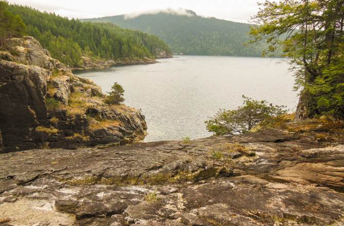
In the photo (above), we were standing just above Cassel Falls.
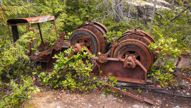
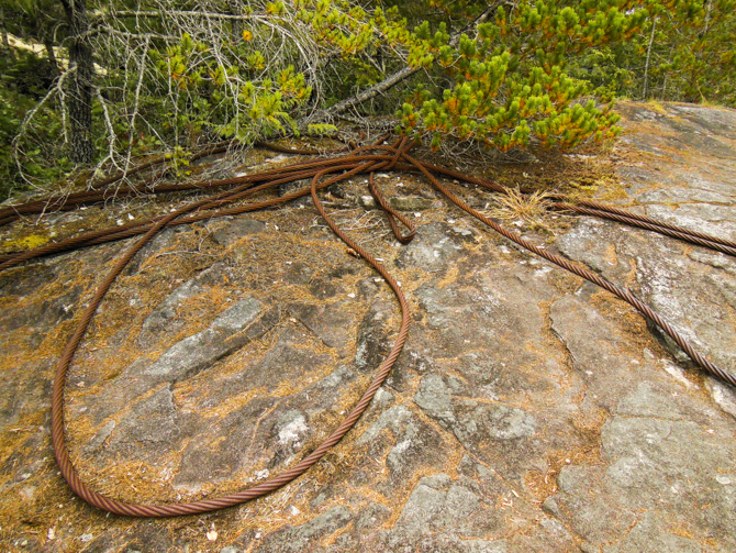
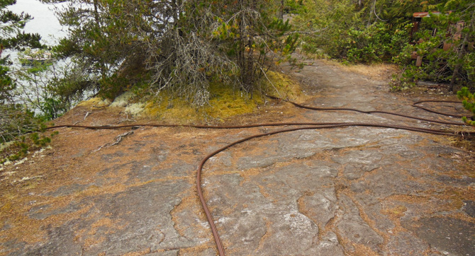
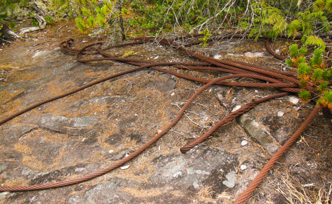
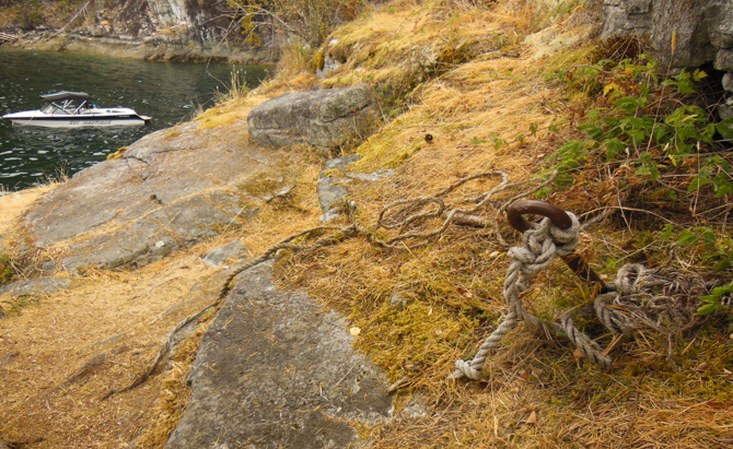
The apparatus above is called a “donkey,” it sits here rusted along with many heavy-duty cables, remnants of the logging that took place in this area.
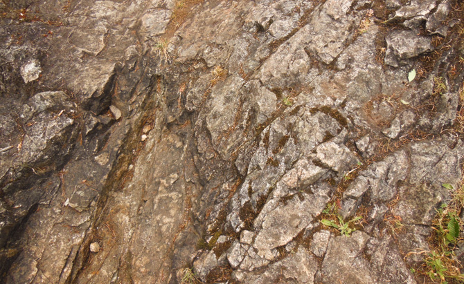
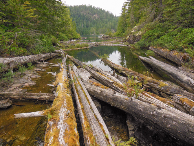
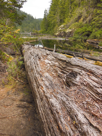

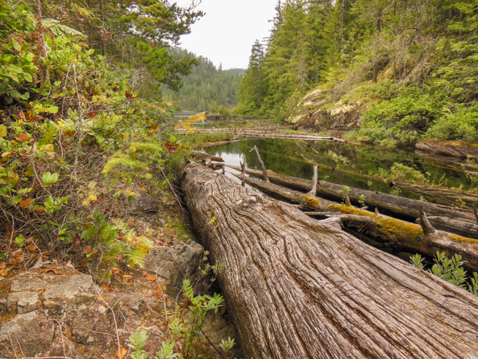
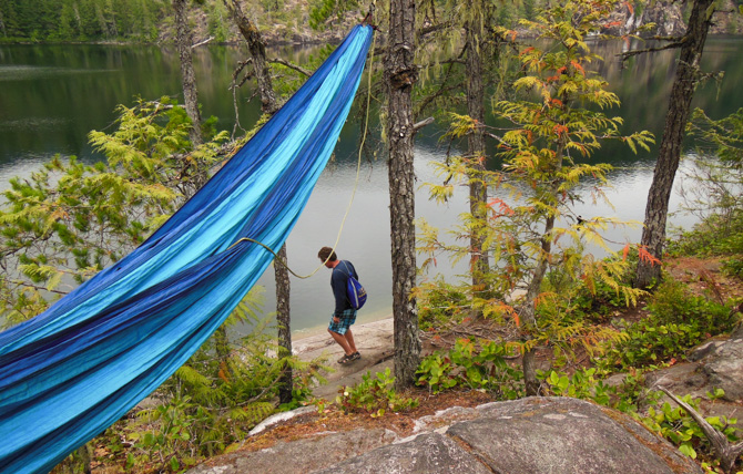
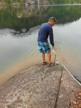
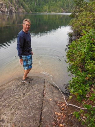
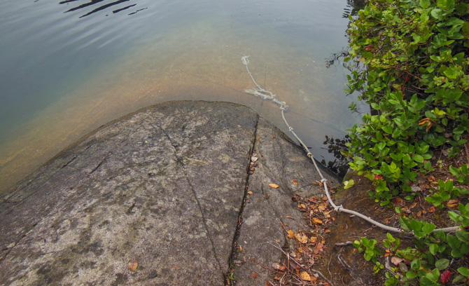
The trail we hiked led us to this smooth rock on the lake’s southern shore, it angled deep into the lake. Someone had fashioned a haul-out rope with knots to make it easier for people to get in and out of the water as the rock is very slippery. We brought aqua socks though and that helped a lot. The water was refreshing and surprisingly warm.
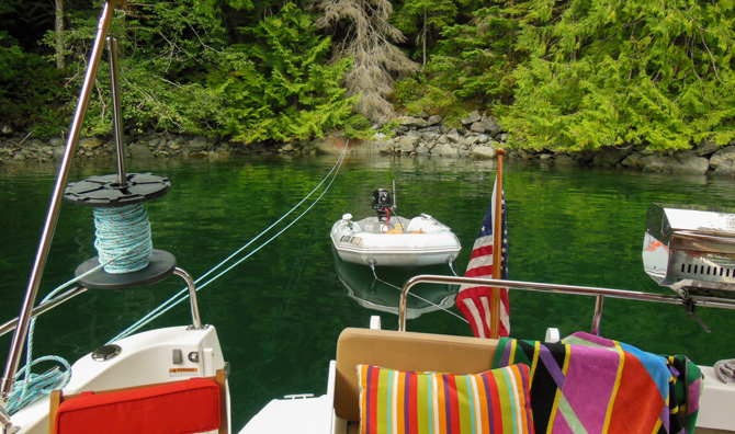
As we were walking back from our hike we saw a blue Ranger Tug (above) hovering in front of the falls probably taking photos like we did (which were just below us to the left in the photo above).
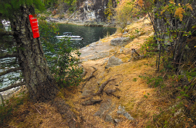
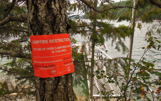
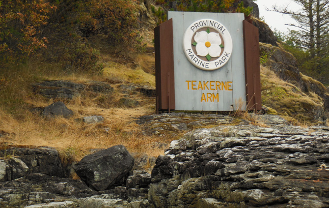
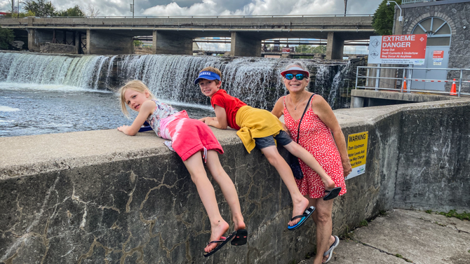
The territory of Desolation Sound was pretty dry during our time there and we saw many of these signs posted (above).
Related Posts

In B.C. we call them Donkeys, not logging monkeys.
Thanks Ken!